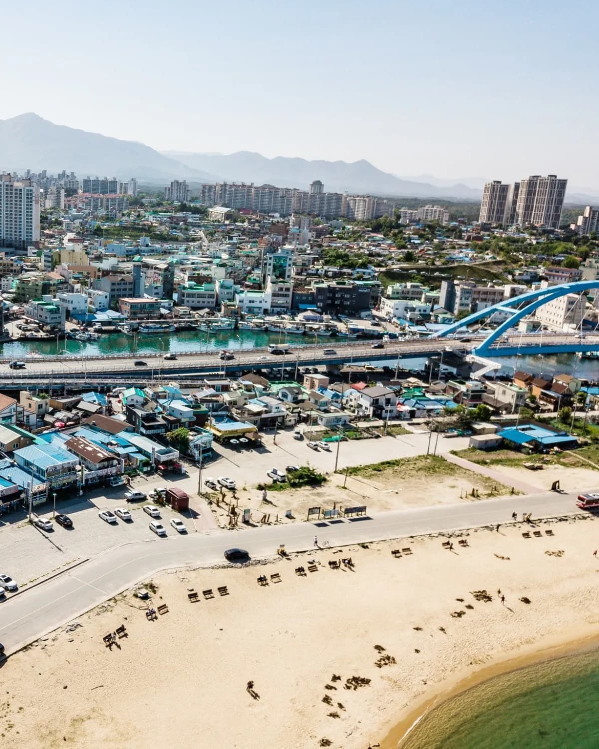
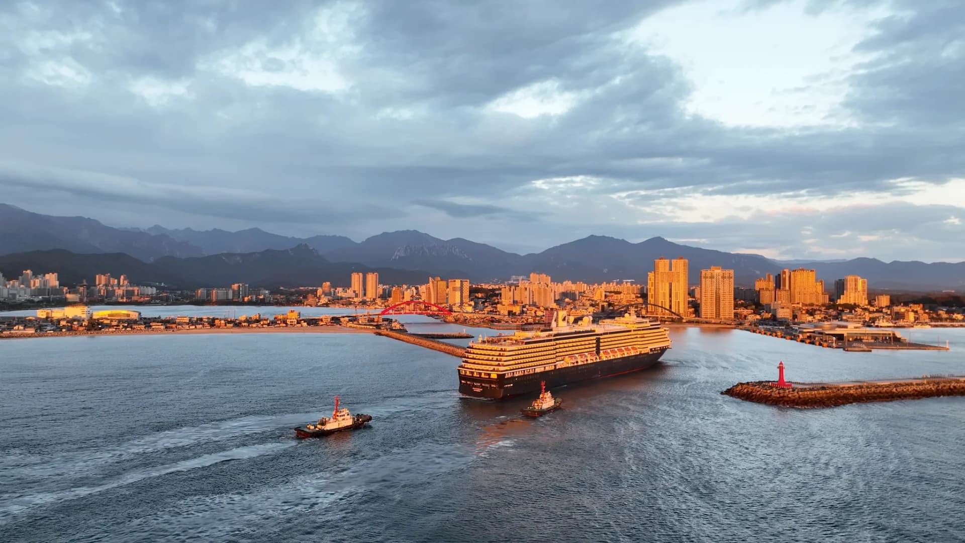
This is the walk to take if the sea, not the market, is the reason you got off the ship. The Sokcho Beach walk from the cruise terminal heads south through the coastal lanes of Abai Village, reaches the small sheltered sand of Cheongho Beach, then follows the East Sea bicycle path past a row of sea-facing cafés to Sokcho Beach and the Saemaeul-gil cafés behind it. It is 3.2 km, flat the whole way, and the field walk on 2026-09-04 confirmed the line you see on the map.
It fits a 4-hour shore window with room to spare, and it shrinks to a 2-hour out-and-back if you turn around at Cheongho Beach. Everything below works without a data connection once the map is saved.
Route at a glance
| Distance | 3.2 km one way (walked 2026-09-04) |
| Walking time | About 45 minutes without stops |
| Plan for | About 2 hours with a coffee stop and time on the sand |
| Terrain | Flat streets, then a paved coastal bike path and beach promenade |
| Start | Sokcho Cruise Terminal (속초항 국제 크루즈 터미널) |
| Finish | Saemaeul-gil (새마을길), the café lanes behind Sokcho Beach's south gate |
| Return | Taxi back recommended, or walk back the same line (45 minutes) |
| Restrooms | Gaetbae landing, Cheongho-dong old breakwater, Cheongho Beach, Sokcho Beach main gate and south gate |
| Wi-Fi | Cruise terminal, Gaetbae office, Abai Village main street, Sokcho Beach police box, Sokcho Beach south gate |
The line on the walking map keeps the sea on your left from Cheongho Beach onward. There is one real navigation decision, at the bridges, and the map handles it.
Turn by turn
- Leave the cruise terminal building and follow the saved line south onto Abaimaeul 1-gil (아바이마을1길), about 400 m in.
- Bear onto Abaimaeul-gil (아바이마을길) at about 520 m. This is the village's main lane: the Gaetbae landing, Abai Gonggal Bread and Eunhui-ne Sikdang are off to your right, Dancheon Sikdang is on the lane at about 700 m.
- Pass the Abai Village Elevator (아바이마을 엘리베이터) at 775 m and keep to the shore side of Seorakgeumgangdaegyo-ro (설악금강대교로), the road that carries the twin bridges. Do not take either elevator; the route stays at ground level and goes under the bridge deck.
- Past the Seorak Bridge Elevator (설악대교 엘리베이터) at 950 m, the mural lane and the bridge viewpoint sit together at about 1.1 km. Turn onto Cheongho-ro (청호로) and immediately onto Cheonghohaean-gil (청호해안길), signed as the Donghaean Bicycle Path. Cheongho Beach and its restroom are here, about 1.2 km from the terminal.
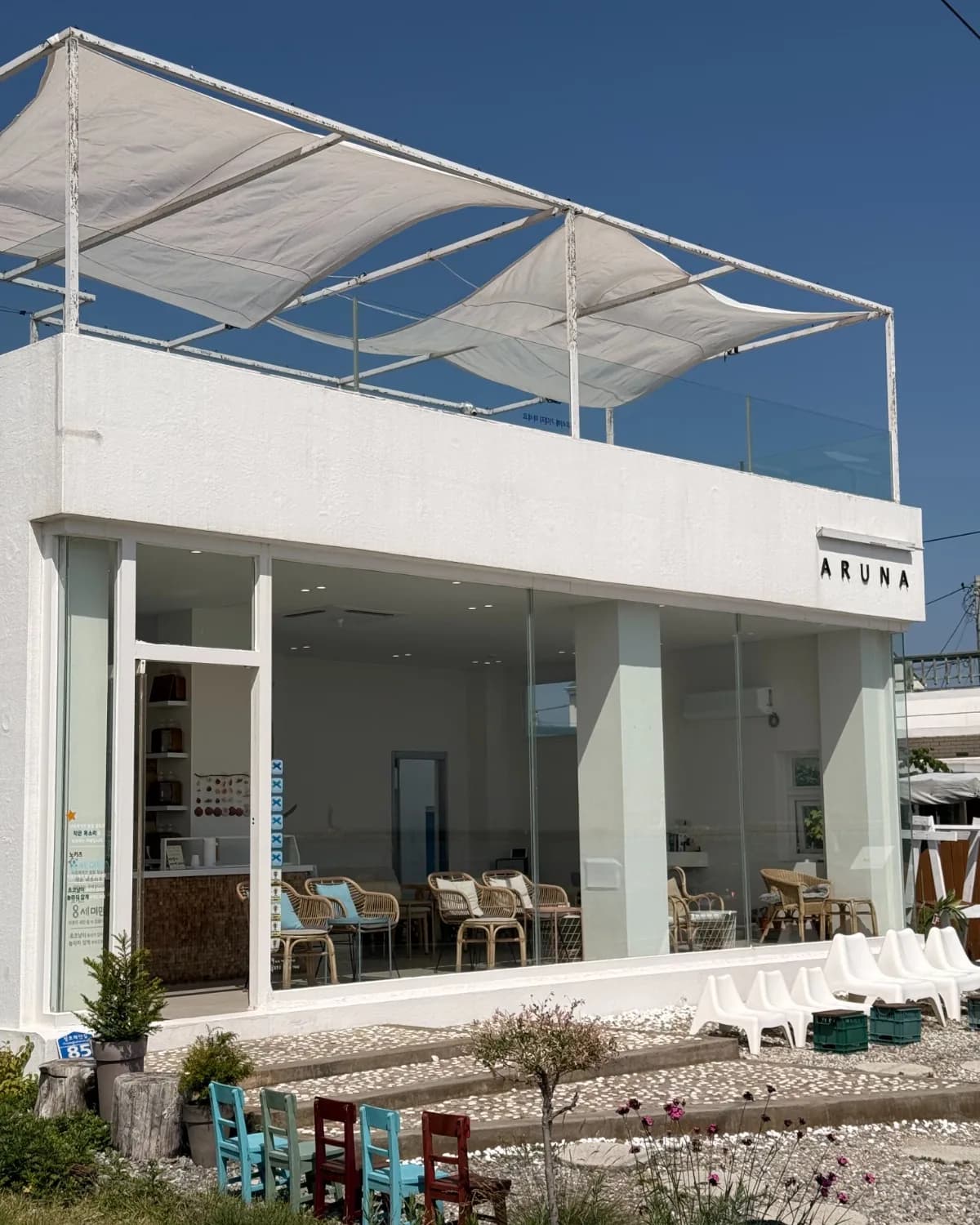
- Follow the bike path south with the sea on your left. Cafés begin at about 1.5 km; ARUNA is at 1.7 km. The path becomes Cheongho-ro 5-gil (청호로5길), then Cheongho-ro 34beon-gil (청호로34번길), then Cheongho-ro 2-gil (청호로2길), passing two pensions and Jangsu Live Fish.
- The Sokcho Eye ferris wheel marks the north end of Sokcho Beach at about 2.5 km. Walk the promenade or the sand south for 600 m.
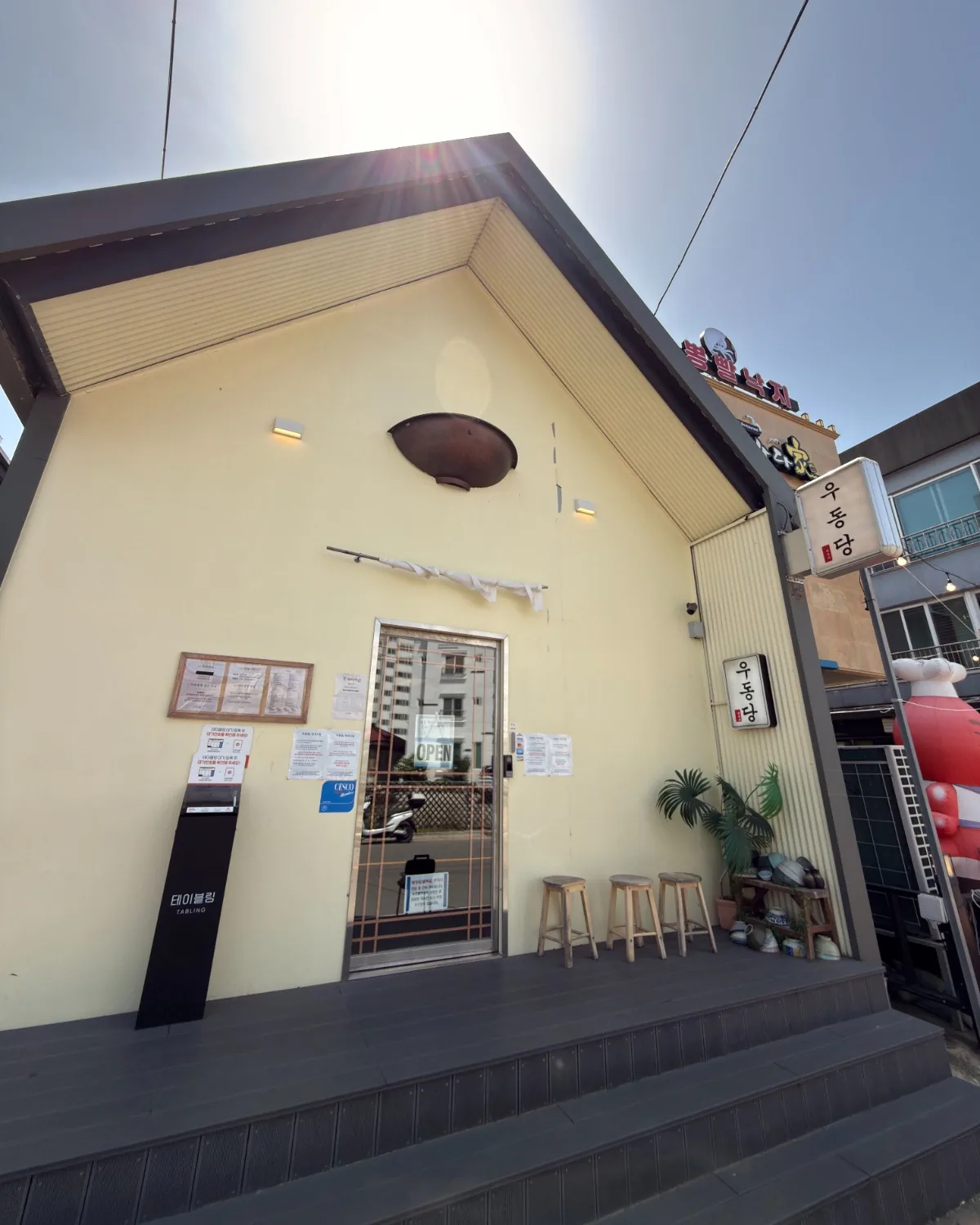
- At the far end, join Haeoreum-ro (해오름로) by the main gate restroom, then turn inland onto Saemaeul-gil (새마을길). The walk ends at the corner of Saemaeul 14-gil (새마을14길) by Udongdang, with a CU and a GS25 convenience store within 30 m.
The walk
Terminal to Abai Village (about 12 minutes). The first stretch is plain harbour-side road. Its job is to get you from the port gate into the walkable part of Cheongho-dong without a wrong turn, and the map does that. Once the street narrows into Abaimaeul-gil you are in Abai Village, the sandbar settlement built by refugees from Hamgyeong Province during the Korean War. It is still home to their families, so give people room and photograph the water rather than the doorways.
The lane has three quick stops if you want them. The Gaetbae ferry is the hand-pulled cable ferry that crosses the canal to the Sokcho Tourist & Fishery Market side in about four minutes; an adult ride is 500 won, paid by card at the kiosk or in cash, and the fare is collected on this side. You do not ride it on this route, but the landing is worth a look, and the basic toilet next to it is the first restroom on the walk. Abai Gonggal Bread sells one thing, a hollow crisp bread you eat standing up. Dancheon Sikdang and Bukcheong Abai Sundae are the two sundae kitchens on the lane if you would rather eat early than at the beach. The village's free public Wi-Fi is on this main street, by the sundae restaurants.
Abai Village to Cheongho Beach (about 8 minutes). The lane opens out where the road for the Seorak and Geumgang bridges crosses overhead. Two elevators serve the bridge deck for people heading downtown; ignore them. The route stays low, passes under the deck, and comes out at the mural street and the bridge viewpoint, which is the best place on this walk to look back at the lagoon mouth and the city behind it. A few steps further, the road becomes Cheonghohaean-gil and the sea appears.
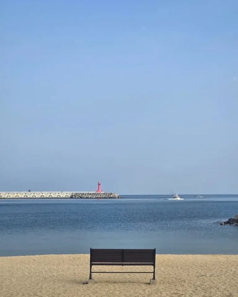
Cheongho Beach is small, about 300 m of sand between two breakwaters, and until this year it was an informal local beach. In 2026 the city ran it as a supervised swim beach for the first time, from July 11 to August 23, with a new restroom block, showers, and a watchtower. The restroom is the useful part in autumn; the showers are seasonal. The sheltered water is calm and shallow, which is why families liked it in summer, and why it is a pleasant place to stand for ten minutes when the open coast further south is windy. This is also the turn-back point for the short version of the walk, so decide here whether you are doing 2 hours or 4.
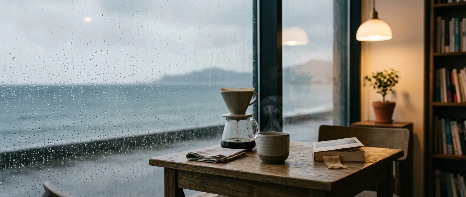
Cheongho Beach to Sokcho Beach (about 20 minutes). The Donghaean Bicycle Path hugs the shore for the next 1.3 km. Cyclists use it, so keep to the seaward edge and look before you stop for photos. This is the stretch people mean when they talk about Sokcho seaside cafés: a line of low buildings on the inland side with glass facing the water. ARUNA at 1.7 km is the one HeySeorak has visited, a sea-facing café whose owner has lived in Canada and elsewhere and is used to explaining things in English. The map marks a few others along the same road; treat those labels as a snapshot, since names change.
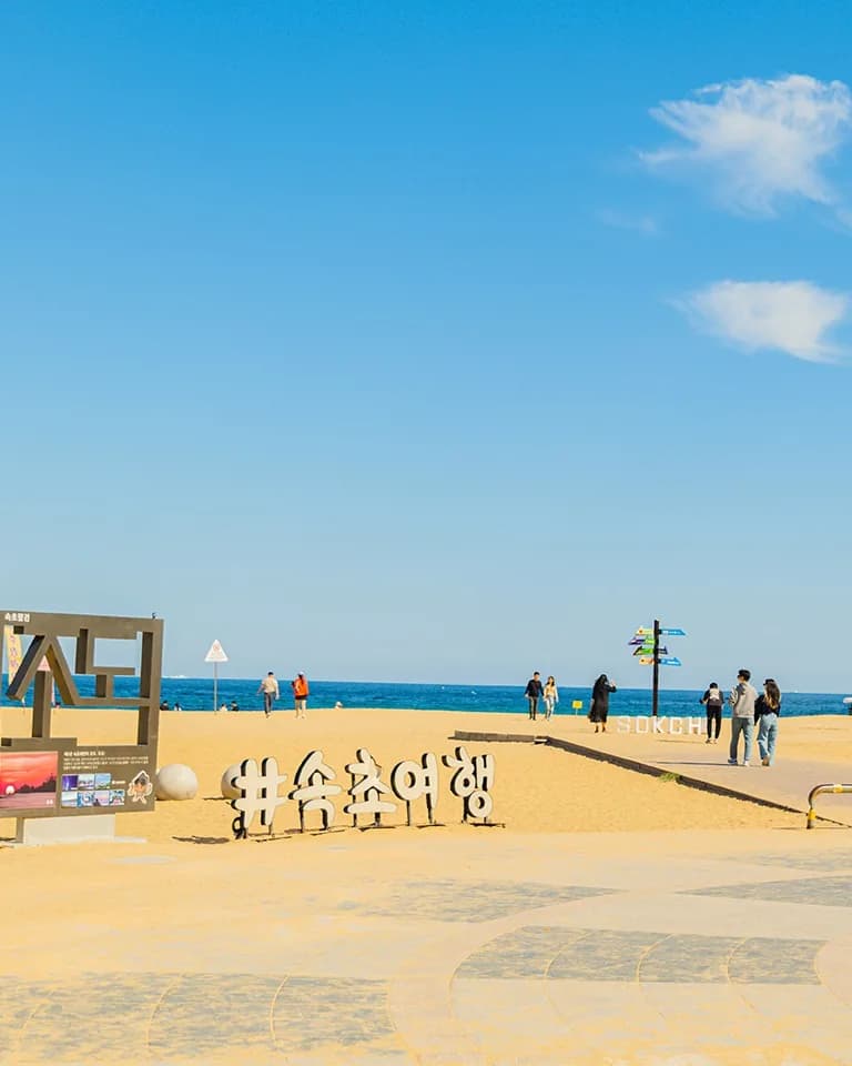
Past the pensions and Jangsu Live Fish, a second-floor sashimi house with wide windows over the sea, the Sokcho Eye ferris wheel comes into view. It stands at the north end of Sokcho Beach, the city's main beach and one of the easiest East Sea beaches in Korea to reach without a car. Entry is free all year. In September and October the sand is quiet, the pine path behind it is shaded, and the police box near the north end broadcasts free public Wi-Fi.
Along the beach to Saemaeul-gil (about 10 minutes). Walk the length of the beach, on the sand or the promenade. The main gate restroom is near the south end on Haeoreum-ro, and the south gate has a second restroom and another free Wi-Fi point. From the south gate, Saemaeul-gil runs inland. This block of short side streets, Saemaeul 14-gil to 16-gil, is where the Saemaeul-gil cafés cluster: dense with cafés, dessert counters and small lunch places, most of them with picture menus. The Saemaeul neighborhood guide maps the lanes in 3D and tells the neighborhood's story from 1968. Udongdang is the stop on the route, an udon shop whose cold bukkake udon is a good hot-day lunch and whose menu HeySeorak has translated. For the wider set of cafés in this part of town and across the city, use Best Cafés in Sokcho; for more lunch options in walking distance of the sand, see Best Restaurants near Sokcho Beach.
Sokcho Beach in the cruise season: what is open
Cruise calls at Sokcho fall in September and October, after the swim season ends. The 2026 supervised season at Sokcho Beach ran from July 3 to August 23, with swimming hours of 9 a.m. to 6 p.m. and a night-swimming program until 9 p.m. from July 21 to August 12. Cheongho Beach ran July 11 to August 23. On a call day, expect no lifeguards, no swim buoys and no rental stands at either beach. The sand, the promenade and the pine path are open and free.
The seasonal prices are worth knowing only if you return in summer. During the 2026 operation, indoor coin showers were 1,000 won for 3 minutes, outdoor coin showers 500 won for 90 seconds, item storage 1,000 to 3,000 won per day by size, sun beds and standard parasols 10,000 won, and tubes or life jackets 5,000 to 10,000 won. Korea introduced published standard prices for these items nationwide in 2026, so a posted price list at the rental stand is normal. Full detail and the day-of safety rules are in the Sokcho Beach swimming season guide, and the broader Sokcho Beach guide covers sunrise, food and access from Seoul.
Sunrise is the beach's off-season strength, but not on a call day. In Sokcho the sun comes up at roughly 5:55 a.m. at the start of September and 6:50 a.m. at the end of October, well before most ships clear immigration. If you are staying in town instead, Sokcho Beach faces due east and is a few minutes on foot from Sokcho Express Bus Terminal.
Fitting it into a shore window
4-hour window. The full walk is comfortable. A realistic timeline from the terminal gate: 12 minutes to the village, 10 minutes looking around, 8 minutes to Cheongho Beach, 10 minutes there, 20 minutes down the coast with 15 minutes at ARUNA, 10 minutes along the beach, and 30 to 40 minutes for lunch on Saemaeul-gil. That is about 2 hours, which leaves the rest of the window for a taxi back and a buffer before all-aboard.
2-hour window. Walk to Cheongho Beach and back. That is about 1.2 km each way, 35 minutes of walking in total, with time for the Gaetbae landing, a gonggal bread, and the bridge viewpoint. You will not reach Sokcho Beach, but you will have seen the village, the sea, and a beach. Turn around the moment you reach the Cheongho Beach restroom, not later.
Getting back. Three options, in order of reliability:
- Taxi. Taxi back recommended, from Saemaeul-gil or the beach's south gate. All Sokcho taxis take cards; show the driver "속초항 국제 크루즈 터미널" on your phone. The taxi tips post explains the Kakao T app if you want to book rather than hail.
- Walk. The same line in reverse is 45 minutes with no stops. It is the free option and the one that does not depend on finding a cab.
- Local bus. Buses run along the beach road, but the network is built for residents and the terminal is not a bus destination in its own right. Read the local bus guide before relying on it, and add walking time from the nearest stop.
Whatever you choose, set an alarm for all-aboard minus 60 minutes before you leave the ship and treat it as the time to be in a taxi, not the time to start looking for one. Ship instructions override anything this page or the map says.
Offline, restrooms and Wi-Fi
Open the walking map on the terminal's free Wi-Fi and wait for the "Saved for offline" message before you walk out. After that the basemap, the route line, every stop, the restrooms and the Wi-Fi points render without a connection, and your position dot keeps working on GPS alone. The line does not reroute; if you wander, walk back toward it.
Restrooms on the route, north to south, with their Korean sign names:
- Coast Guard substation (속초해양경찰서 파출소), 450 m. Inside a public building; usable during its opening hours.
- Gaetbae ferry, Abai side (청호 갯배), 540 m. Basic, no flush.
- Cheongho-dong old breakwater (청호동 (구)방파제), 590 m.
- Cheongho-dong canal (청호동 신수로), 780 m.
- Cheongho Beach (청호 해수욕장), 1.2 km. The new 2026 block.
- Sokcho Beach main gate (속초해변(중문)), 3.1 km.
- Sokcho Beach south gate (속초해변(남문)), 3.1 km.
Free public Wi-Fi, from the Sokcho City inventory reviewed in September 2026:
- Cruise terminal (속초항 국제 크루즈 터미널), indoors.
- Gaetbae ferry office (속초항갯배), at the landing.
- Abai Village (아바이마을), main street by the sundae restaurants.
- Sokcho Beach (속초해변), at the police box and showers near the north end.
- Sokcho Beach south gate (속초해변(남문)), by the restroom.
If the weather turns
Wind is the variable here, not rain. The stretch between Cheongho Beach and the ferris wheel is exposed to the open East Sea, and a strong onshore wind can make 1.3 km feel like twice that. Keep the route but slow down, and use ARUNA as a shelter stop rather than skipping it. If it is raining hard, the walk loses most of its point; switch to the Rainy Day in Sokcho plan, which stays under cover around the market and museums, and keep this route for a clear call.
Keep walking
If your window runs long, this walk pairs with Cruise Day in Sokcho, which covers the market and the Gaetbae crossing on the other side of the canal, and with the Lake & Beach loop if you want the Cheongchoho lagoon shore as well. For the history behind the lanes you walked through, the Sokcho History Itinerary picks up where Abai Village leaves off. The whole cruise-day picture, including shuttle timings for your call, is on the cruise page.
Sources
- Kookmin Ilbo, 3 July 2026: Sokcho's three main beaches open July 3 to August 23, night swimming July 21 to August 12 until 9 p.m. kmib.co.kr
- Shinailbo, 23 August 2026: Sokcho, Oeongchi and Cheongho beaches close on August 23; Deungdae Beach extended to August 30. shinailbo.co.kr
- Korea Policy Briefing, June 2026: standard published prices for beach parasols, showers and tubes from summer 2026. korea.kr